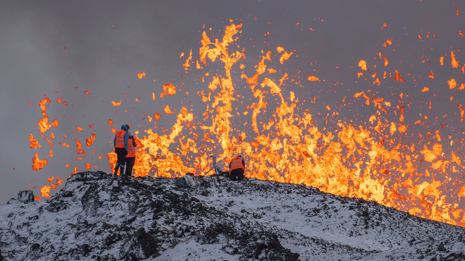
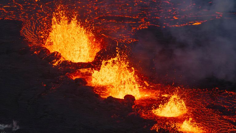
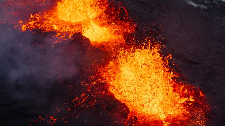
The eruption in Iceland may have weakened but it’s far from over.
Scientists are using GPS signals from space to precisely measure the height of the ground around the volcanic site.
It had risen by 35cm in some areas, pushed up by the magma rising from beneath.
Since the eruption it’s slumped back down by 5cm, an indication that at least some of the pressure below ground has been vented.
But the Icelandic Met Office says more magma could yet flow from deep within the Earth to fuel the fire fountains and perhaps open up new fissures.
Iceland has been lucky with the way this eruption has panned out so far.
The fishing town of Grindavik was evacuated last month because the 4,000 inhabitants were thought to be in imminent danger of the ground erupting beneath their feet.
In the end the magma burst through the Earth’s crust a mile and a bit out of town.
Read more: Eruption sparks gas pollution warning
What is happening under the volcano’s surface?
A power station providing electricity to thousands of homes and the tourist magnet of the Blue Lagoon spa are also close by.
And yet they have all been saved by topography, with the undulating ground diverting the rivers of lava away from infrastructure.
The authorities aren’t taking any chances though. They filled in the last gap in the protective wall that now rings the power station.
And the people of Grindavik won’t be allowed back until scientists are certain that the eruption has waned for good.
Hopes of spending Christmas in their own homes seem a bit optimistic.
But people here are resilient, used to living alongside volcanoes.
Their hazard and their beauty are two sides of the same coin. And they’re great for attracting tourist cash.
The last few weeks have shown how much better scientists are at predicting an imminent eruption – giving people a better idea on when they can stay and when they need to flee.


